The Colorado Transportation Commission proposed new transportation pollution reduction planning standards on August 16 that seek to cut greenhouse gas or GHG emissions from the state’s transportation sector while improving statewide air quality and reducing smog.
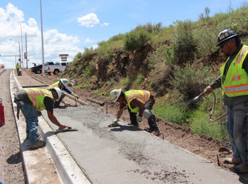
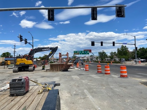
[Above photo by the Colorado DOT]
The proposed rule – known as the “Greenhouse Gas Pollution Reduction Planning Standard” – aims to “shape” how state and local governments plan projects to ensure future transportation infrastructure supports cleaner air and fights climate change, all while providing more “travel options” to Colorado residents.
Publication of this draft standard begins a 60-day public review period – running from August 13 through October 15 – during which the Colorado Department of Transportation plans to host both in-person and virtual public hearings as well as accept written comments.
The proposed rule would require the Colorado DOT and the state’s five Metropolitan Planning Organizations to determine total pollution and GHG emissions increase or decrease expected from future transportation projects while taking steps to ensure that total GHG emission levels do not exceed set reduction amounts.
This commission added that this approach would also help “streamline” the planning and delivery of innovations for improving quality of life and air quality, such as: Adding sidewalks, improving downtowns for active transportation with “complete streets,” improving local and intercity transit, and first-and-last-mile connectivity to transit facilities, and adding bike-sharing facilities.
“Transportation is our largest source of air pollutants, and this standard will help ensure that Coloradans have every possible ability to make a difference,” said Governor Jared Polis (D) in a statement.
The proposed rule would also implement a key provision of the state’s SB21-260 transportation legislation, which requires a number of steps to embed air quality and equity analysis and goals into transportation planning.
“What we build matters. It matters for safety, for our economy, for resiliency, and for our ability to reduce air pollution and improve the quality of places where Coloradans across the state live and thrive,” explained Shoshana Lew, Colorado DOT’s executive director.
“From smoke-filled air to a confluence of fire and 500-year flooding in Glenwood Canyon, we are reminded that we have no time to waste in fighting climate change in the transportation sector – and this policy will be an important step,” she added. “This draft standard wouldn’t be possible without the hundreds of hours of input we’ve received over the last few months, and I look forward to hearing from all stakeholders on this draft.”