The Tennessee Department of Transportation is making travel near one of the nation’s most popular national parks a little easier for drivers, bicyclists, pedestrians, and people with disabilities.
[Above photo by AASHTO]
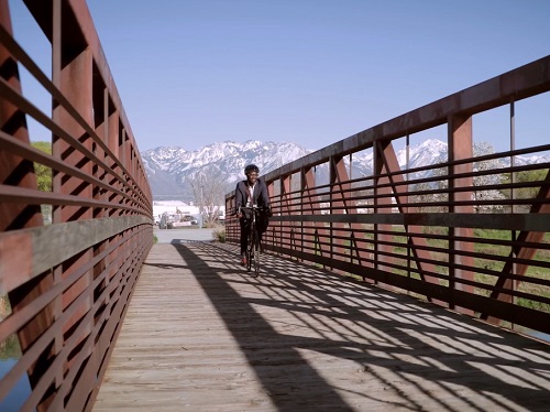
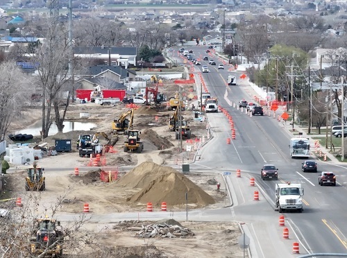
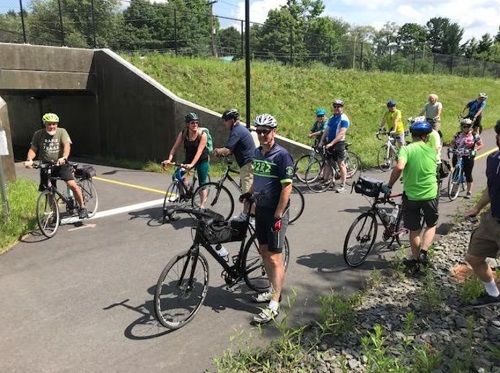
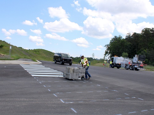
Tennessee DOT and local officials recently opened the Jake Thomas Connector – a two-mile, five-lane road near the Smoky Mountain National Park – that features five-foot wide sidewalks, a 10-foot shared used path, and Americans with Disabilities Act-compliant curb ramps.
The road also connects the park’s main highway to popular attractions such as “Dollywood” – a theme park that is jointly owned by Herschend Family Entertainment and country singer-songwriter Dolly Parton – and The Ripken Experience; a baseball complex that draws youth teams from across the country.
Tennessee DOT funded this road and active transportation project, which was designed by the city of Pigeon Forge – a small town of about 6,000 residents that receives more than 11 million visitors a year. The Smoky Mountain National Park receives more than 13 million visitors each year; nearly triple the number of people who visit Grand Canyon National Park in Arizona.
“Pigeon Forge is obviously one of the busiest areas of the state, and Tennessee DOT is happy to be able to make travel less stressful and more efficient in this area,” explained agency spokesman Mark Nagi. “The Jake Thomas Connector allows local folks and tourists to travel between Veterans Boulevard and the parkway in different manners,”
The new connector road also should alleviate congestion on U.S. 321 Parkway, which leads into the Smoky Mountain National Park and clocks nearly 50,000 vehicles a day. The Jake Thomas Connector is also expected to handle about 16,000 vehicles a day, according to Tennessee DOT.
The new road’s sidewalks and shared use path also connect to existing greenways in Pigeon Forge, according to Pigeon Forge’s Manager Earlene Teaster.
“We’ve been trying to connect our parks for the last few years, just for people to bicycle and walk,” Teaster said. “It’s a beautiful drive, so we wanted to have nice sidewalks, and then we just decided to incorporate it into the greenway.”
Nagi added that the project gives users “more connections and more choices” when it comes to mobility needs. “Tennessee DOT supports the needs of all users whether they choose to walk, bike, use transit or drive,” he added. “Multimodal transportation opportunities provide more freedom in how people get around, especially for people who cannot or choose not to drive a car.”
Pigeon Forge’s Teaster pointed out that the city designed this roadway project to deliberately include wider sidewalks so people could ride bicycles safely without having to ride in car lanes or inconvenience pedestrians. The region’s mild climate and mountain setting make the park and Pigeon Forge a popular tourist destination for active transportation enthusiasts, she said.
“People come and they love walking, and there’s so much to do and see, and there’s so many clusters of tourism shops,” Teaster emphasized. “People already are really, really using it. It’s going to be a terrific asset to our community.”