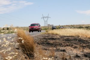
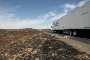
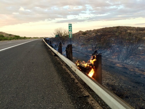
When combined with fire-ravaged terrain, heavy rain creates a whole new set of highway maintenance issues.
[Above photo courtesy of Arizona DOT.]
Take California, for starters. Already in the midst of fighting several major wildfires, the state is already gearing up for potentially damaging weather/terrain scenarios that can develop due to post-fire conditions.
The California Department of Transportation dealt with one such situation three years ago when a mudslide covered portions of U.S. 50 following several heavy and wet winter storms.
In Arizona, the infamous Bush Fire in June – a human-triggered inferno that burned more than 193,000 acres of desert and vegetation in Tonto National Forest near the northeast suburbs or Phoenix ― left behind dry, rocky terrain that could not handle the rushing waters of a monsoon, since the fire melted away vital ground cover.
Thus the need arose to craft a faster response effort to address those specific conditions. As a result, the Arizona Department of Transportation created an emergency action plan that dispatches specialized highway crews that can deal with the impact that heavy rain causes on fire-scorched terrain.

Part of the good news, explained Kevin Duby, statewide road weather manager for the agency, is that the Arizona DOT created this response plan at minimal cost plan by piggybacking off an initiative of the Federal Highway Administration’s Pathfinder Program. An offshoot of the Every Day Counts innovation recognition initiative, the Pathfinder Program, keeps travelers informed, and improves safety, mobility and the movement of goods during storms via enhanced collaboration between federal, state, and local agencies.
“We utilized previous plans obtained by research on the topic, which resulted in better use of time and cost savings for taxpayers,” said Duby.
With the help of the National Weather Service or NWS, the Arizona DOT identified “areas of the watershed where problems could arise and cleaned out the drainage ditches,” Duby emphasized, noting that no major construction was necessary because cleared culverts were already in place.
“They can accommodate the water in the normal flow from the steep slopes of the Mazatzal Mountains,” he said; a range known locally as the Four Peak Mountains.
Duby added that the Arizona DOT “already had a great relationship” with NWS via several groups from within the agency, from regional districts to operations to public relations.
The depth of those collaborations proved more advantageous and timelier than originally imagined.
“The plan was completed on July 28,” Duby said. “Then about a week later we had a mudslide on State Route 188,” which connects the towns of Globe and Payson, near Roosevelt Lake, which had been identified as a flood problem area.
“We worked with NWS to come up with protocols when a storm was imminent,” Duby noted. “One was for the NWS to call our traffic operations center,” to warn representatives of the impact of the rain.
At that juncture, the traffic operations center and public information offices broadcast the information on social media. Once the flooding occurred, the Arizona DOT executed its plan and was able to respond quickly with heavy equipment in a pre-staging area. That included vehicles such as loaders, skid-steers, and backhoes; as well as barriers and portable message boards. The agency also identified alternate highway routes – notably State Route 87 and U.S. 60.

“Part of the initiative is to be proactive about getting messages out to the travelling public, with the best information we can offer,” Duby pointed out.
While he said there is also an estimated cost savings aside from avoiding the commuter delays due to the Arizona DOT’s approach, it also helped alleviate the environmental issues that are part of any major weather event.
Without the efforts of the parties involved, “taking care of that sudden real world event would have been more complicated,” explained Duby. “We had to be sure that all three Arizona DOT districts are in sync, because they all have separates staffs,” adding that Phoenix and Flagstaff – about two hours away – both have NWS offices, so keen communication between the two proved critical.
Today, the focus is on taking what’s been learned from the Bush Fire and the mudslide and use that information to prepare for the next potential weather disaster. “We’ve refined our approach and that’s making traveling safer for our citizens,” Duby emphasized.

