The Massachusetts Department of Transportation noted it built and opened approximately 20 miles of shared use paths in 2023, while also expanding multimodal connectivity and opportunities for recreation statewide as well as enhancing pedestrian and bicyclist safety.
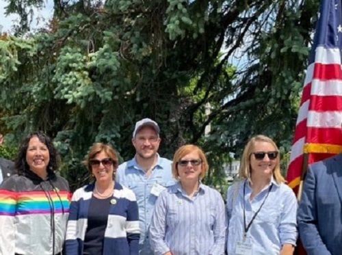
[Above photo by MassDOT]
The 20 miles of shared paths that opened in 2023 was the result of completed projects, either constructed by MassDOT or jointly funded through the MassTrails program, along 14 different trails across Massachusetts.
In May 2023, the MassTrails Team officially launched its Priority Trails Network map. By the end of 2024, the agency said 25 additional miles of shared paths are expected to open statewide, further expanding multimodal connectivity for Massachusetts.
Throughout the course of 2023, MassDOT said it also completed dozens of roadway projects that added new bike lanes, sidewalks, shared use paths, and crosswalks. Additionally, MassDOT continued to support improvements in school zones and the expansion of shared paths and trails through programs like Safe Routes to School, Shared Streets and Spaces, Complete Streets, and MassTrails, which have all helped to prioritize investments in municipalities to create safer, multimodal travel.
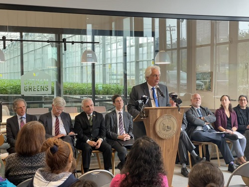
“I want to commend our dedicated teams at MassDOT for the progress they made over the course of 2023 to give our communities more miles of multimodal connectivity,” said MassDOT Secretary and CEO Monica Tibbits-Nutt in a statement.
“These projects are designed to make our transportation network safer, more practical and more inclusive for all users,” she added. “We have many achievements to be proud of – and great momentum for 2024.”
“When we expand and enhance our inventory of multimodal paths, we are not just removing barriers to biking and walking, but setting the foundations for healthier, safer, more prosperous communities,” noted Peter Sutton, MassDOT bicycle and pedestrian coordinator.
“This success was possible thanks to our team’s great dedication, as well as the invaluable collaboration of the community leaders and advocates who continue to work with us on behalf of those who rely on our transportation systems,” he said.
MassDOT noted the MassTrails Team consists of MassDOT, the Massachusetts Department of Conservation and Recreation, and the Executive Office of Energy and Environmental Affairs.
Continuing efforts to support the state’s growing network of trails, in 2023 the Healey-Driscoll Administration announced $11 million in its fifth annual round of MassTrails Grants to 68 projects across Massachusetts.
The grants provide assistance for the construction, maintenance and improvements for a variety of public trails throughout the state trails system, such as hiking trails, bikeways and shared-use paths, MassDOT noted.