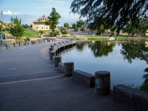
The Oregon Department of Transportation recently noted that its new Innovative Mobility Program or IMP will be sending more than $87,000 in micro-grants over the next several weeks to local groups to fund the purchase of bicycle helmets and locks, transit passes for elderly and disabled riders and other mobility endeavors.
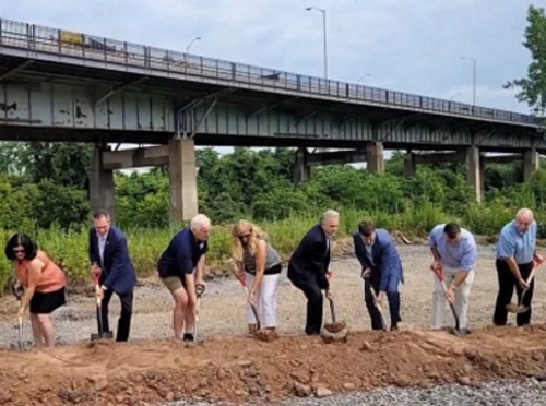
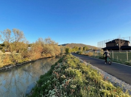
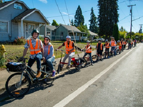
[Above photo by the Oregon DOT]
“The Innovative Mobility Program will support both existing and new projects that help expand underserved communities’ access to safe and affordable transportation,” said Karyn Criswell, administrator of Oregon DOT’s Public Transportation Division, in a statement.
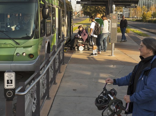
She noted that the IMP has two “over-arching” goals: Reduce climate impacts by improving access to public and active transportation and investing in historically underserved groups by helping them get where they need to go. In particular, the IMP’s micro-grants seek to improve safety and access for those who walk and roll, while also making it easier to use other transportation modes besides driving alone.
“We heard many people have immediate needs but struggle to hear about or apply for funding on time,” Criswell added. “So $5,000 micro-grants will be issued on a rolling basis with no deadlines to ensure that there’s always an opportunity to access funds.”
Oregon DOT noted that the IMP would also include contracted services, a large competitive grants program, and technical assistance for prospective applicants and grant awardees. Funding for the program, totaling $20 million, comes from a combination of state and federal dollars.
The agency said the IMP’s large grants and contracts portal is expected to open in 2023. In the meantime, IMP micro-grants are available on a rolling basis and the application is available on the website.
“Small organizations often serve communities with the greatest need but struggle to produce grant applications that can compete against larger organizations that serve the general population,” said Criswell. “So we’re designing a grant application process that prioritizes need and will include support for these organizations so they can be competitive in an open, public process.”
The agency added that state, regional, and local governments, public transportation providers, public schools and school districts, Native American tribes, certain nonprofits, and businesses providing community services are all eligible to apply for the IMP.
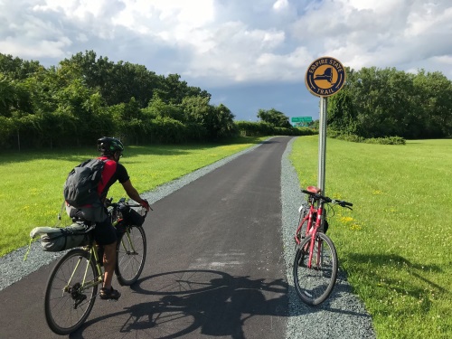
The program can fund many transportation-related activities including pedal and electric bike lending libraries and bike shares; transportation “wallets,” which offer passes and credits for use on transit, bike-share, e-scooters, ride-share, and car-share in one package; carpools and vanpools; equipment such as bike locks and helmets; training and much more.